evac-planning
Evacuation Planning Research (Public Artifact)
This site preserves and presents a small body of graduate research on evolving evacuation strategies for urban road networks. The focus is on making the original results visible and understandable, with minimal changes to the code or data. The repository contains the simulator, scenarios, figures, and a PDF of the paper.
- Read the paper: paper.pdf
Research Overview
- Problem: route a city’s population toward safety during a disaster while accounting for congestion, capacity limits, and imperfect compliance.
- Representation: at every intersection, a static probability distribution over outgoing roads (plus “stay”) encodes guidance; probabilities at a node sum to 1.
- Objective: maximize aggregate safety of all agents by the end of a fixed horizon. Safety is a per‑node value (e.g., distance from danger, elevation, designated safe regions).
- Traffic model: macroscopic agent groups with link travel times computed using a BPR‑style function: free‑flow time scaled by a congestion term depending on current flow and link capacity.
- Optimization: an Evolution Strategy (real‑valued genome) evolves the per‑node distributions; mutation perturbs node distributions and renormalizes; optional crossover swaps node‑level distributions between parents.
- Robustness: the probabilistic encoding tolerates some “disobedience” (agents not following guidance exactly) and can be re‑optimized quickly after topology or safety changes by seeding from prior solutions.
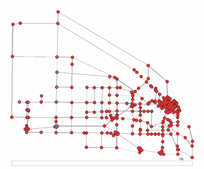
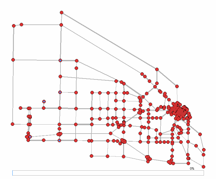
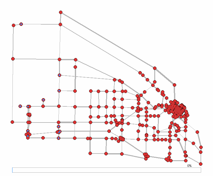
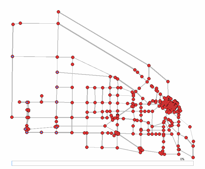
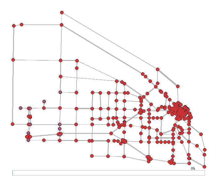
Boise Example (What the GIFs Show)
To make the results tangible, we animated drawables from experiments on a Boise, ID road network used during the research. Each animation interpolates agent motion along routes and overlays simple visual cues:
- Edge width: proportional to evolved routing probability on that edge.
- Node color: reflects safety (safer nodes are greener/bluer; unsafe are redder).
- Dots (agents): size scales with group size; trails show recent movement.
- Progress bar: indicates time progression through the simulation horizon.
These are qualitative visualizations intended to communicate routing patterns, congestion effects, and adaptation. Exact timings in the historical drawables are sometimes coarse; the animations still reflect the evolved distributions.
Population Series (60k baseline, 10%–100%)
The following GIFs vary the population scale while keeping network and safety conditions constant. As population rises, congestion increases, and the evolved probabilities redirect more flow to alternate corridors to maintain safety.
 10% of 60k population
 20% of 60k population
 30% of 60k population
 40% of 60k population
 50% of 60k population
 60% of 60k population
 70% of 60k population
 80% of 60k population
 90% of 60k population
 100% of 60k population
Capacity & Initialization Variants
These variants illustrate adaptation to degraded infrastructure and different initializations of the optimizer.
- 40% capacity: models reduced road capacity (e.g., closures, damage); evolved distributions route around bottlenecks while steering toward safer areas.
- Safe‑to‑danger (S2D) initialization: seeds probabilities by “filling from the safest zones outward”, often providing faster convergence and distinct flows.
 10% pop + 40% capacity (evolved)
 10% pop + 40% cap (plain init)
 10% pop (safe‑to‑danger init)
 10% pop + 40% cap (safe‑to‑danger init)
Notes & Provenance
- This page presents a curated subset of the historical outputs used during the research. Some static figures in the repository are not easily reproducible on current systems; they are preserved as‑is.
- The code and scenarios are available in the repository for those who wish to explore further or reproduce artifacts locally; see the README there.